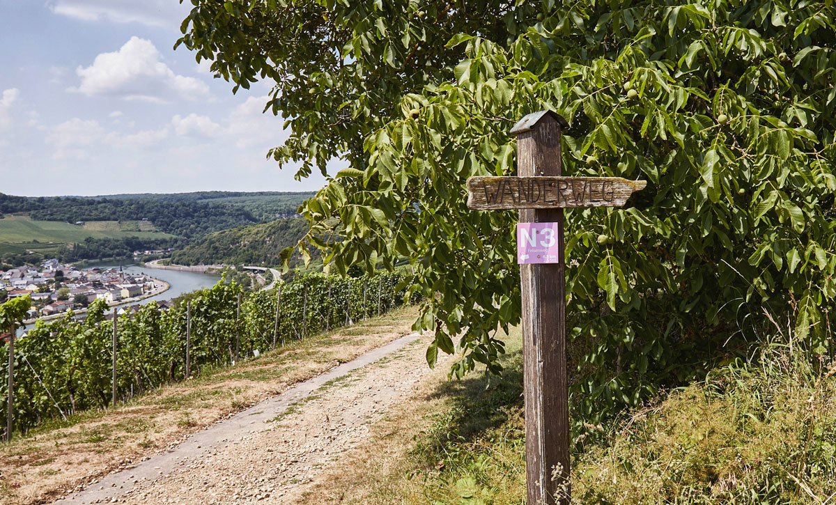
Panoramaweg N1
Distance: 9 km
Walking time: 2.5 hours
Start: Weinstraße – In der Gessel
We start in the centre of the village and head uphill through the village and the vineyards below the impressive shell limestone rock mass and, further up, past expansive meadows and fields above the Nittel rock plateau. We return to the village via the hilly and shady forest path «Rheinbüsch», passing other arable land on our way. Again and again, we are rewarded with all kinds of different panoramic views reaching far into Luxembourg. This hike is somewhat challenging.
Kapellenweg N4
Distance: 6.5 km
Walking time: 2.5 hours
Start: Weinstraße – In der Gessel
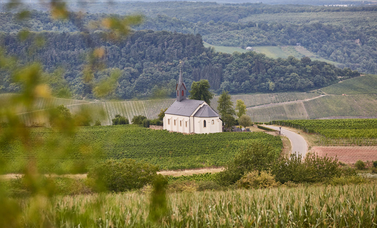
We start our somewhat challenging hike into the Nittel «hill landscape» in the centre of the village, heading towards the new development area «Wiesengraben». After a somewhat steep ascent we reach the vineyards, which accompany us for a short while. Now we hike uphill through the forest to the «Kölliger Fels», where we then brush past the district of Köllig and temporarily travel through the forest on the Moselsteig. At the end of the forest, the vineyards welcome us again and in the distance we can already see the impressive «St. Rochus Chapel» in the vineyards of Köllig. The chapel, first mentioned in documents in 1432, is open to visitors on Sundays and public holidays. The path then leads us down the steep hill through the Nittel vineyards and back to the village.